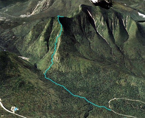
Route
- Greeley Ponds Trail from Rt 112 to Mt. Osceola Trail - 1.3 miles
- Mt. Osceola Trail to summit of East Osceola - 1.5 miles
- Mt. Osceola Trail to Greeley Ponds Trail - 1.5 miles
- Greeley Ponds Trail to Rt 112- 1.3 miles
Total distance: 5.6 miles
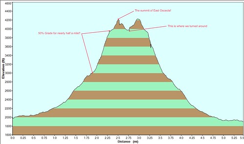
Visualization
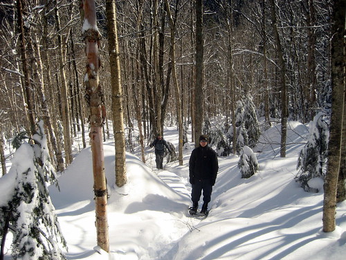
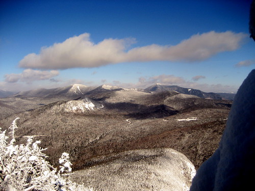
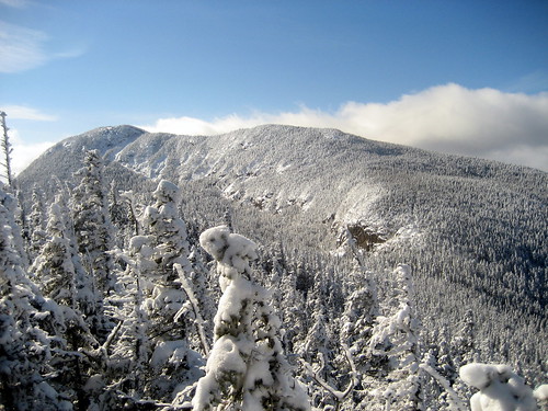
Pictures
Full gallery here.
Notes
- This was by far our hardest winter hike yet – some points on the way up were about a 50% grade, which is made twice as difficult while wearing snowshoes!